December 27, 2016
Created:
September 18, 2015
Hema Explorer - Map Patrol Big Bend National Park
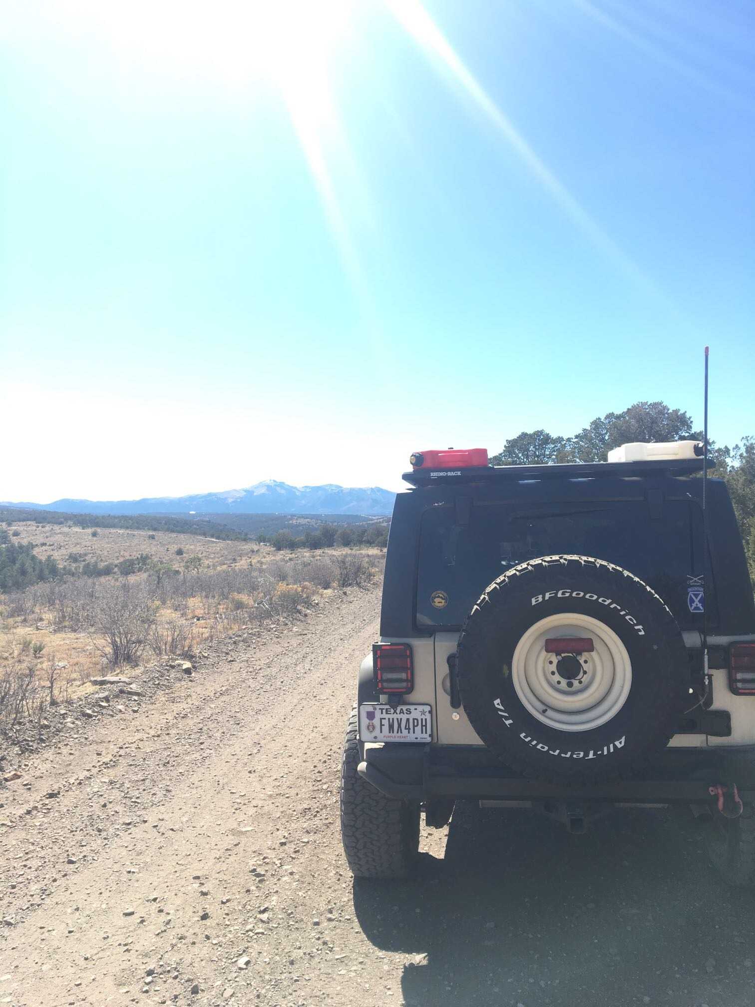
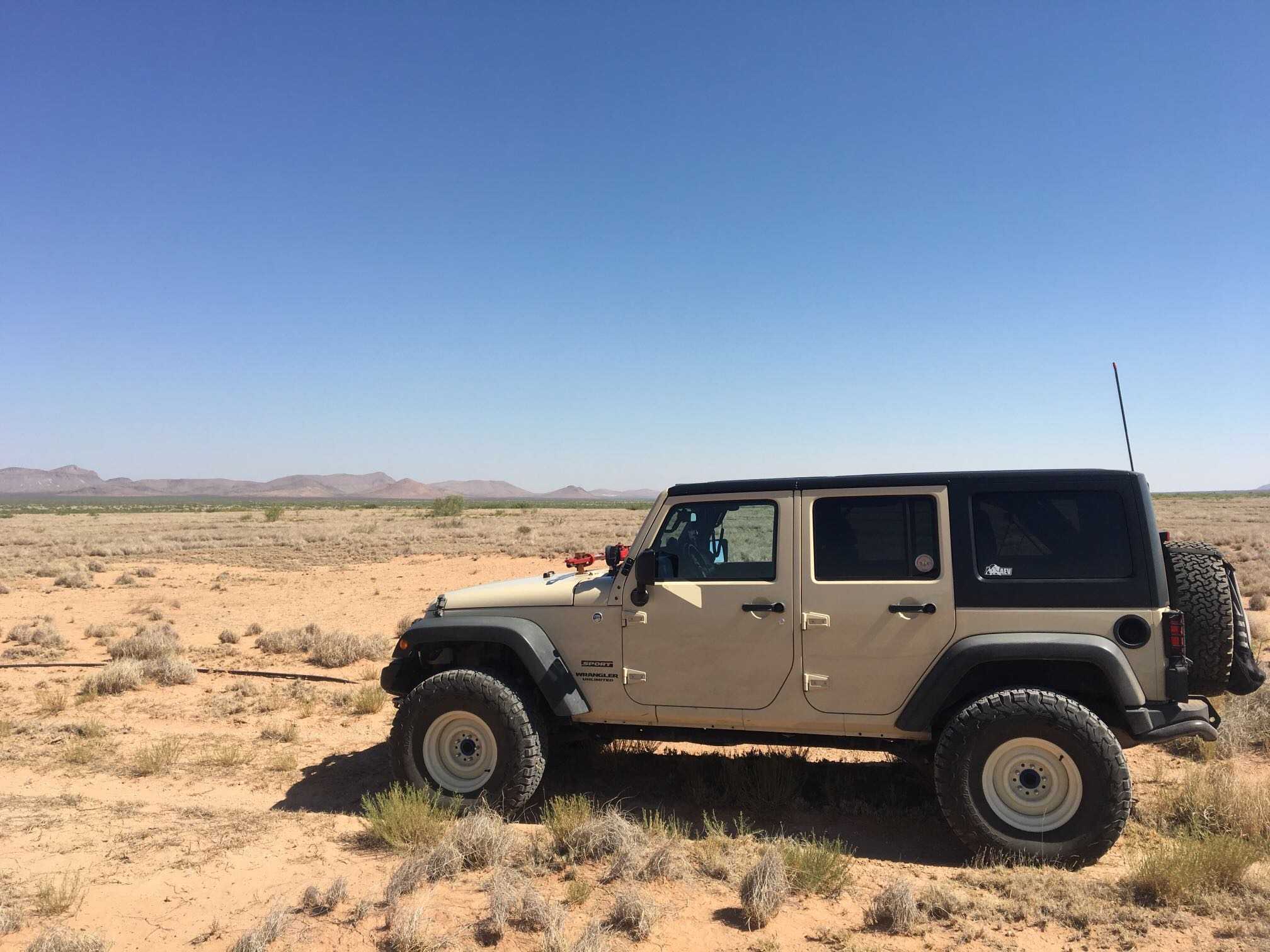
371.9 kmIf you're looking for a Texas sized adventure in the lone-star state this is it! Spanning over 800,000 acres, Big Bend National park holds plenty of opportunity for back road fun and exploration.The path we chose runs south from Alpine Texas to the west side of of the park and totals 231 miles.
From the entrance you transition to dirt and cruise down to the Rio Grande river, the states southern border. Beautiful cliffs line the opposite side of the bank and many rock formations are truly breath taking. The road winds its way along the shore and stops by many historical buildings and sites.
Continue along the river to visit the natural hot springs and bath I'm the rio grande. Just don't swim across to Mexico! If you are in the mood to cross borders, the town of Boquillas is just down the road. Catch a row boat across the border and bring your pass port. Cold cervesas await on the other side.
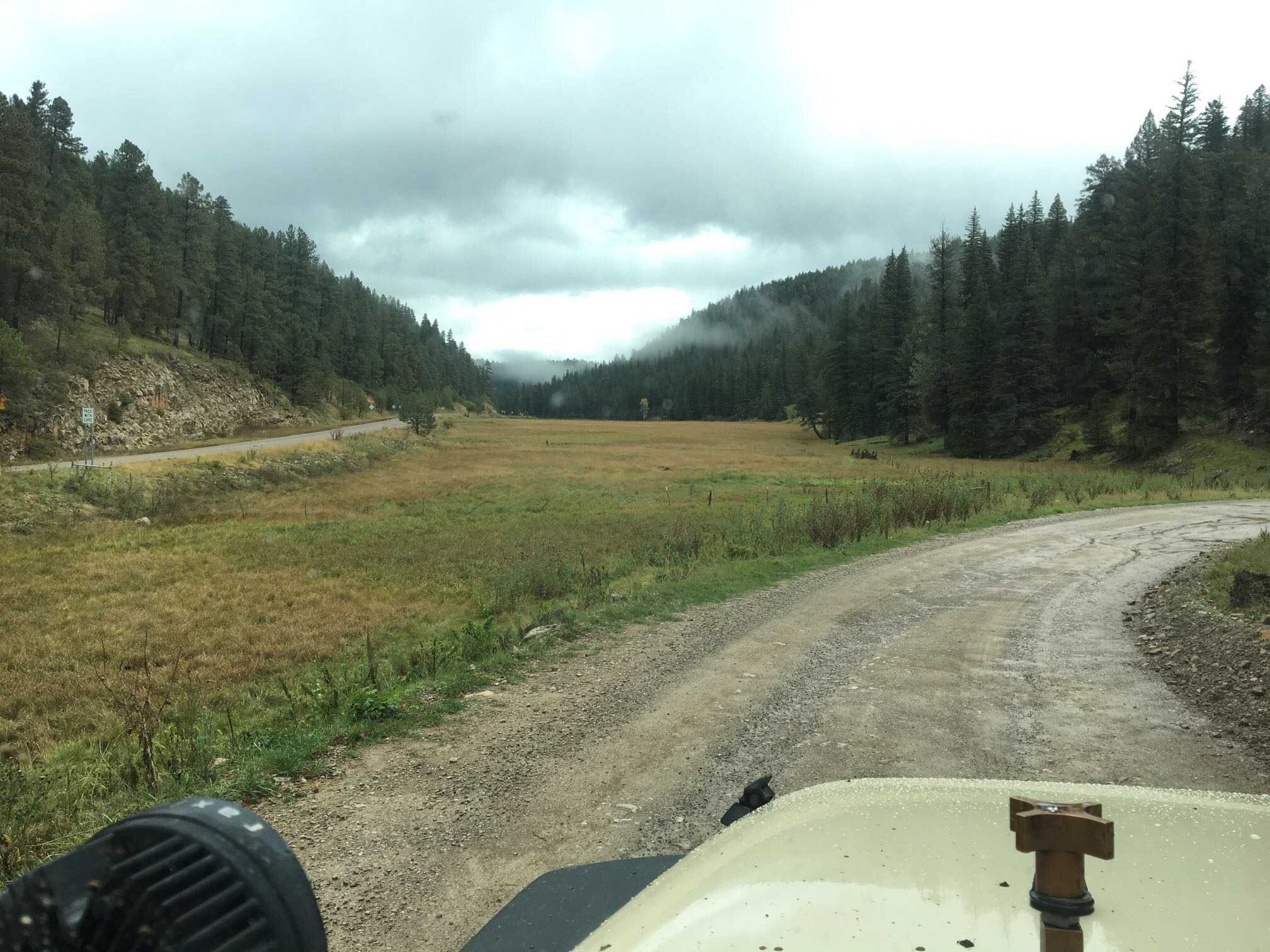
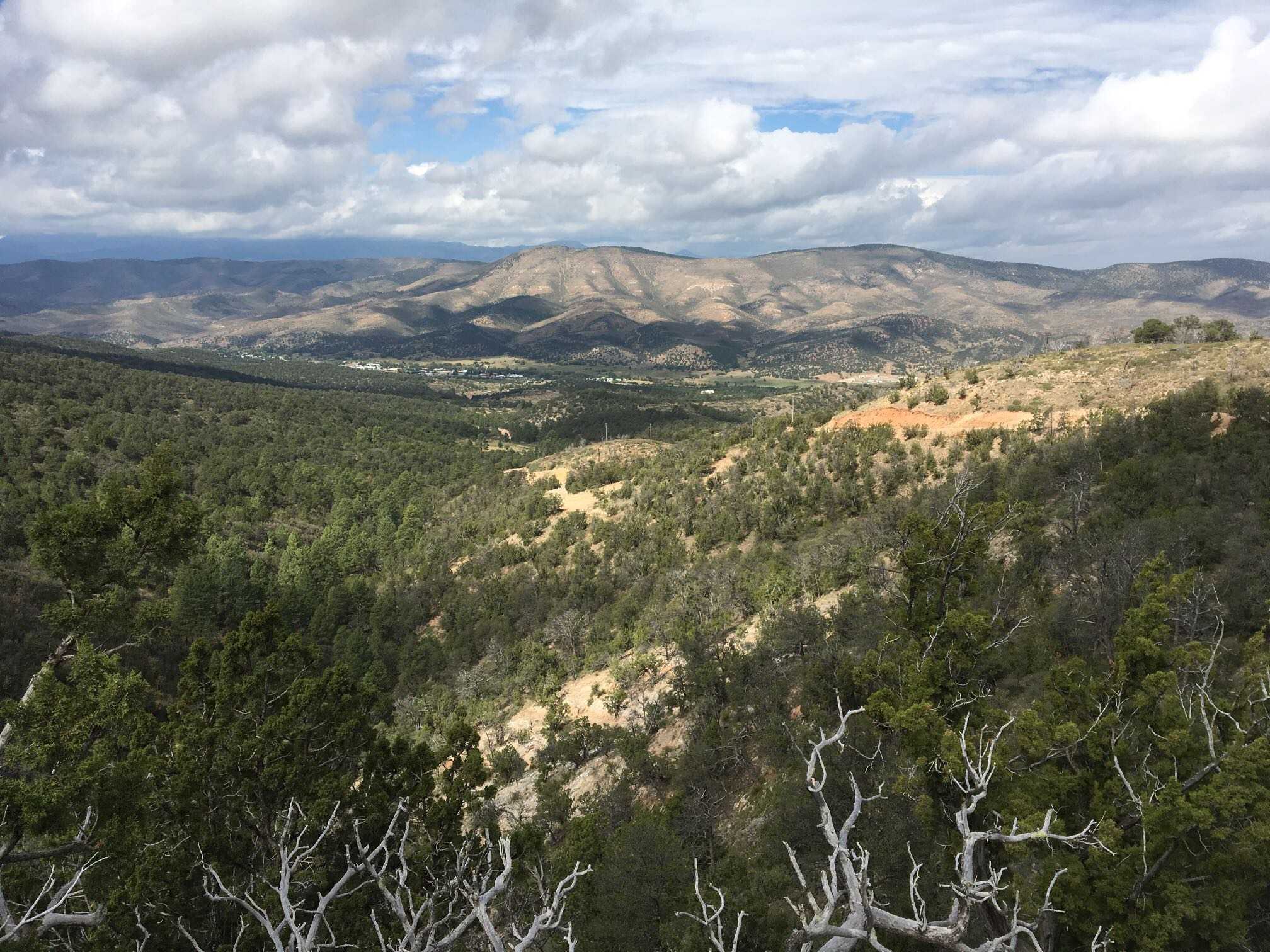
In the central and northern portions of the park, grand views of valleys, cliffs, and plateaus greet you around every bend.
This is the largest preserved section of chihuahuan desert in the United States, so be on the lookout for more than 1,200 species of plants, 450 species of birds, 56 species of reptiles, and 75 species of mammals.
Fuel stops are rare so take advantage of them when you can. Overall trail ratings are easy with a few moderate sections thrown in the mix at black gap pass.
We highly recommend using a detailed National Park Map along with this GPS track.
October 30, 2016
Created:
May 23, 2016