June 01, 2016
Black Bear Pass (Difficult)
14.9 kmTrail time: 5-7 hours
This is a heart-stopping and breath taking alpine trail to Telluride passing right by the spectacular Bridal Veil Falls. This is one of the most famous trails in the state and for good reason. It's beautiful and slightly terrifying. The Trail starts off 550, and return to Ouray over Ophir Pass from Telluride.
01aBlackBearWaterfall-ShaneWilliams.jpg
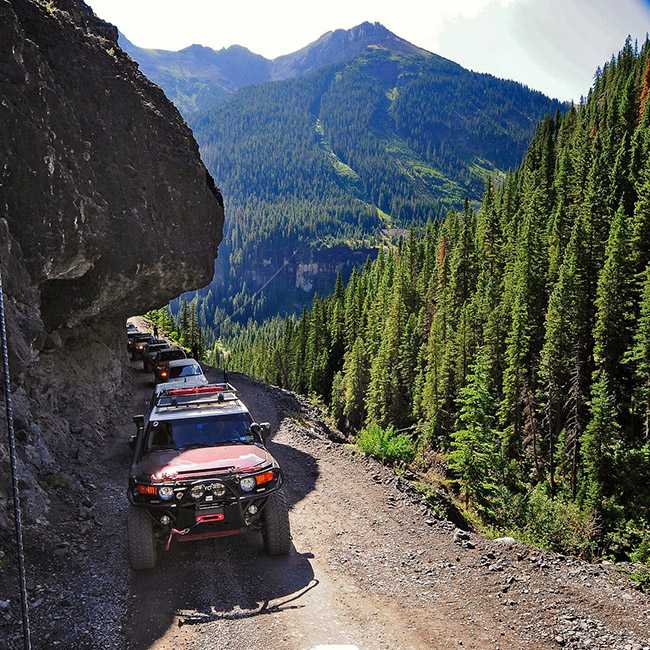
March 11, 2016
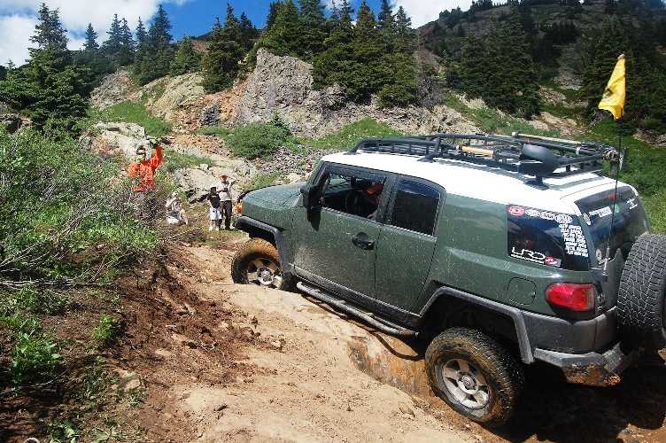
Poughkeepsie Gulch (Difficult)
6.3 kmTrail time: 4-6 hours
This trail is one of Ouray's more difficult trails, with absolutely beautiful views and some fun on rocks and water, depending on snow melt conditions. Additional obstacles add to the fun and challenge!
JoeBacalSpots-ShaneWilliams.jpg
March 11, 2016
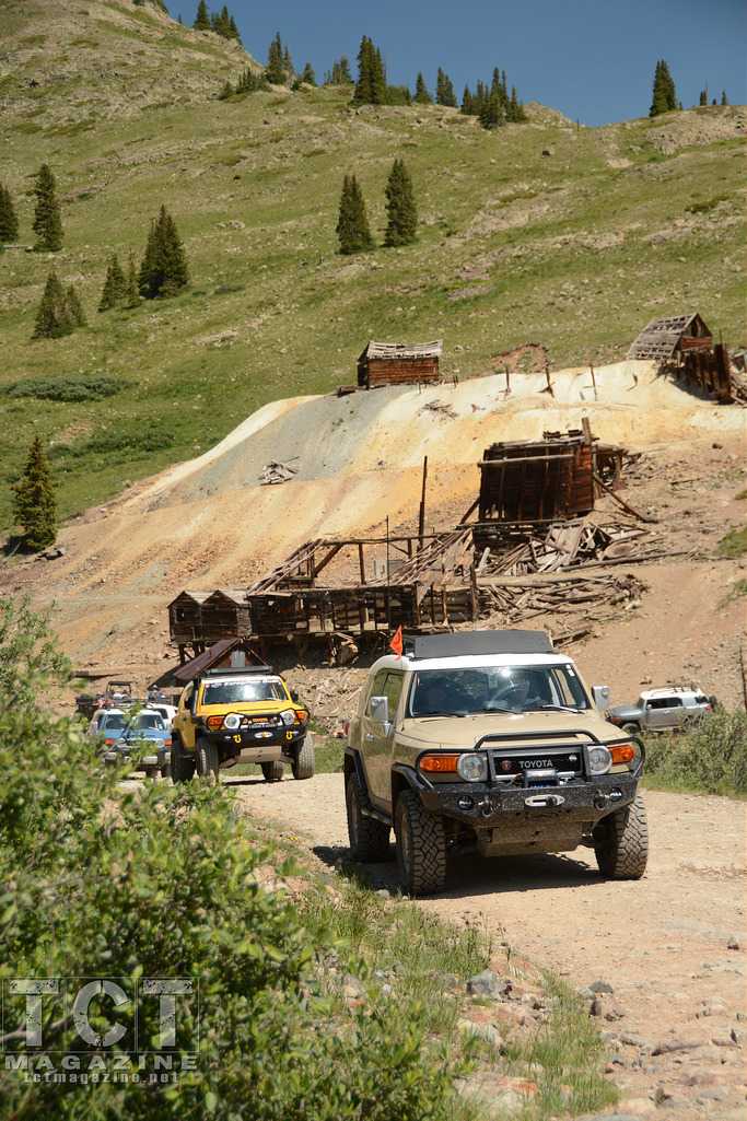
Animas Forks (Unofficial)
5.0 kmThis connector trail is not part of the FJ Summit, but connects Engineer Pass Rd with the Animas Forks Ghost Town and is a popular destination in the area.
FJsAnimasForks-ShaneWilliams.jpg
March 11, 2016
Yankee Boy Basin (Unofficial)
14.6 kmThis is not an organized trail run at the FJ Summit.
Trail time: 1.5-4 hours
A very popular trail, this one can't be missed if you find yourself in the area. It is short and not particularly difficult and you get to see some gorgeous sites. It intersects with Imogene Pass, Governor Basin and basically is the end of road 361 out of Ouray. It starts with the Torpedo Eclipse Mill on your right and the Ruby Trust Mine on your left. A little further up the trail and you can see the Atlas Mill on the left.
trails-yankee-boy-basin.jpg
March 11, 2016
March 11, 2016
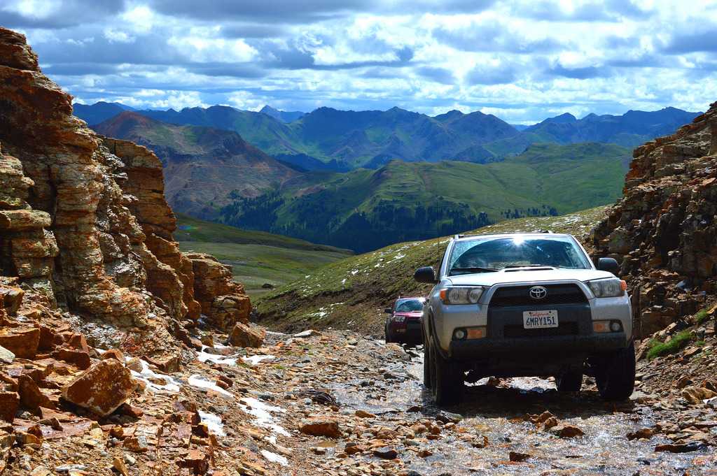
Engineer Pass (Moderate)
29.6 kmThis trail hosts several trail runs during the FJ Summit: Alpine Loop, Poughkeepsie Gulch, and The Gulches all use Engineer Pass as part of their day on the trail.
This trail is the first half of the Alpine Loop and is extremely scenic and very long, filled with many things to photograph.
November 12, 2015
California Gulch (Easy)
8.0 kmTrail time: 1.5-3 hours
This trail is absolutely beautiful from start to finish. Though it isn't a technically challenging trail it does follow very narrow shelf roads and includes a stop at a ghost town!.
November 12, 2015
May 11, 2016
Created:
May 22, 2015
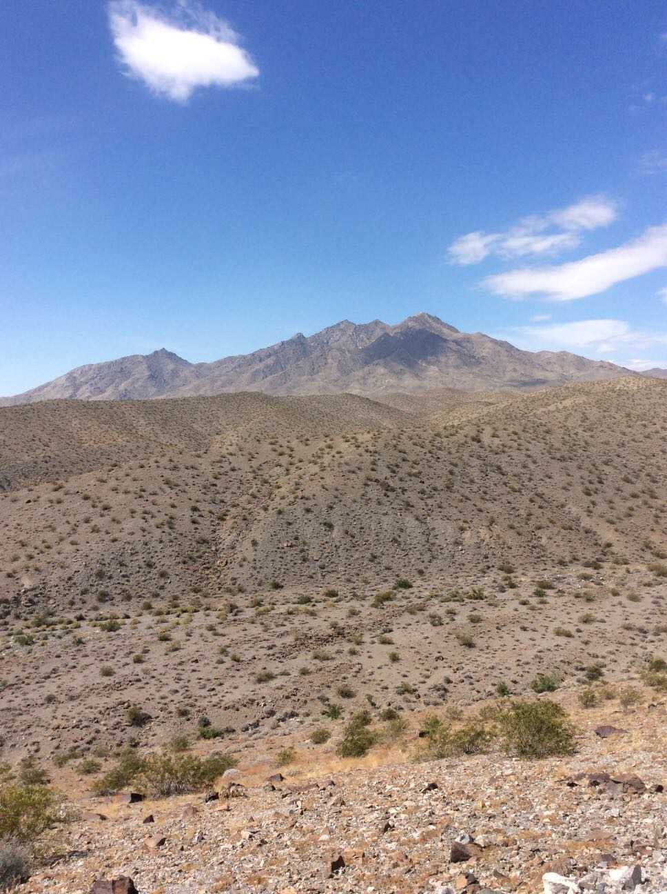
Hema Explorer - Map Patrol Mojave Road
356.2 kmThe Mojave Road traverses 140 miles of the Mojave National Preserve. Though not exceptionally technical, the remote water-less expanses, historical nature, and impressive topography have made this a classic overland track. We've added on to this scenic route to lengthen the trip and include a secluded beach camp site where travelers may escape the desert heat. The trail includes large sand washes, dry lake beds, heavy silt, steep ascents and descents, and cross-axle hills requiring low-range and careful tire placement.
Flora includes the unique Joshua Tree which appears as something out of a doctor Seuss book, yucca plants, cacti, creosote, and other plants typical of the desert southwest. Fauna ranges widely from owls, small mice, and rodent, to reptiles like gila monsters tortoise and chuckwalla, up to larger predators like cougars.
If you plan to traverse the route, we highly recommend coupling this GPS track with the Mojave Road Guide by Dennis Casebier. It gives an excellent overview of the trails history and provides interesting information along the way.
The track can be completed without refueling if you plan accordingly, however the town of Baker can be the perfect spot to hop off the trail, fill the tanks, and grab a cold drink to escape the heat. There is little to no support along the trail so be sure to bring food, water, a spare tire, and appropriate medical supplies for safety. A spot device or sat phone is recommended.