


July 03, 2019
06 Lk Poeppel - K1/Rig Rd Jnct
122.4 kmThe camp last night was not quite at Lake Poeppel, but a bit before. There was simply some tracks heading off into the Bush at about the right time of day. It turned out to be a huge clay pan. There had obviously been water in it at some time, but unsure how long ago.
Shortly after setting off, I passed Lake Poeppel off to the left. It was pretty amazing. While it looked like water, it was actually simply a salt crust over mud- dried or otherwise. There are many lakes out here, it seems, all being the same type.
After more sand dunes (of course) I crossed the border into Northern Territory. Obviously neither state really cares as there was no sign facing either direction. It was only from Hema Explorer that I knew I had crossed the border. Along the western end of the QAA Line, there seemed to be fewer low-lying clay pan flats between the dune crests. Instead the land seemed to stay higher between the crests with red sand instead of the bleached white sand. The vegetation was quite different as well with more shrubs. That seems counter-intuitive, but maybe there is more salt in the ground down lower.
I had set off this morning with the tyres at a cold pressure of 17 psi. This made all the dune crossings very comfortable with no bouncing at high speed. I was also just using high range 4-WD. Tyre pressure is the secret, not great power in the vehicle. I was doing better than Cruisers and Patrols. This fact actually drew some favourable comment from other drivers as I let them pass. Mostly I still travelled at an average of about 20kph.
The road then crossed a salt lake making me realise how big these are. It was quite narrow in an east- west direction, but very long north-south.
It is a shame that many of these lakes are not named on the maps. Surely, they have indigenous names.
After crossing this lake, I came to a junction with the start of the Hay River Track heading to the right (north), the K1 Line track to the left (south) and the continuation of the QAA Line straight ahead. I turned left to K1 and Poeppel’s Corner following the western edge of the dry salt lake. Poeppel’s Corner was just a short trip off the K1 Line on the start of the French Line to Mount Dare and Oodnadatta.
Poeppel’s Corner is quite interesting as it has been moved several times over the years- mostly due to improvements in technology. The original “chain” used to measure out distances as the border was surveyed, stretched from heat and wear and therefore the original was too far west. It was then moved again with the introduction of GPS.
The K1 Line was a much easier track than the QAA. It followed the low ground between the north-south dunes, rather than crossing over the top of each one. In any case, the dunes were much lower and more gentle than further north. I was back in 2-WD for most of the day. Even the couple of dune crossings did not need 4-WD, let alone low range.
July 02, 2019
05 Big Red - Lk Poeppel
151.0 kmWith the morning light and a good sleep, I decided to push on along the QAA Line as far as Poeppel’s Corner. The sand dunes didn’t get any easier to cross even with tyres down to 20psi. One thing that I didn’t think of was the heating effect of the sun and driving on the tyres pressures.
July 01, 2019
04 JC Ruins - Big Red
353.5 kmI can see why most people might cross the Simpson Desert from west to east. The eastern side of the dunes is quite steep. Even having crossed only four before stopping, it is going to be a hectic section of the trip. I simply pulled off the track as the sun started to set and made camp. The cold came in very quickly.
I could hear insect bats twittering and flapping around outside- possibly after the moths that were gathering around the Trayon lights.
June 30, 2019
03 Sommariva - JC Ruins
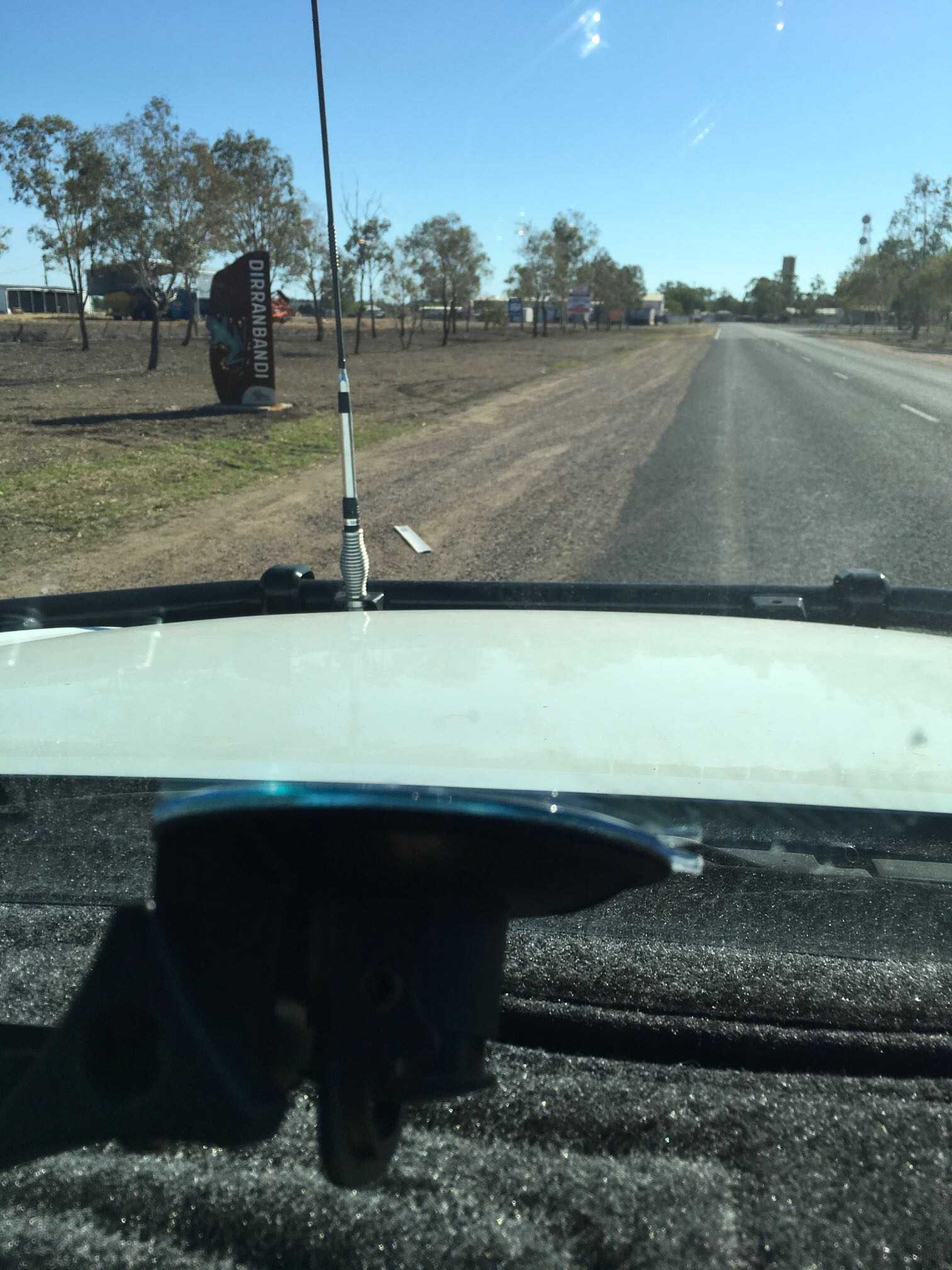
573.3 kmThe traffic was not all that bad overnight, even though I had camped fairly close to the highway. Charleville is the western end of the Warrego Highway- our Highway at home. The distance signpost quoted the distance to Brisbane, but no mention of Ipswich.
Charleville also had the most amazing mural painted on the water tower celebrating girl’s sport. Painted in black monotones.
On the Diamantina Development Road before Windorah, I came across another emergency landing strip on the road.
There is a fantastic campsite for the future where the Highway crosses Cooper Creek before Windorah. Big creek with a lot of fantastic campsite down both sides of the creek- all under lovely trees. Sandy banks with easy access to the after.
I stopped for the night at and old disintegrated pub called JC Pub Ruins. There is virtually nothing left except broken glass and some timber stumps in the ground. It was quite barren.
June 29, 2019
02 Bowenville- Sommariva
530.7 kmToday was a straight forward run on fairly good-quality bitumen.
The highlight of the day was visiting the historical village at Miles called Centenary Park. There were a lot of buildings, each based on their original purpose- shop, bank, Post Office, school, etc. Very well set out and with a lot of historical memorabilia. The school classroom, in particular, was very interesting, even if it covered everything from slates to Cuisinaire rods.
June 29, 2019
01 Home - Bowenville
156.6 kmI managed to get away earlier than expected on Saturday afternoon, rather than Sunday. The drive out through Toowoomba towards Dalby was quite straight forward as it started to get dark. I went into a free campsite at the Bowenville Hotel, but it was small and very crowded and i left. Fortunately, I found a campsite at Bowenville Reserve on the other side of the Warrego Highway.
There are no favorites to display