December 12, 2013
Hema - Mount Terrible
59.5 kmHEMA HIGH COUNTRY ATLAS & GUIDE - TRACK #5
This half-day trip requires low range and high clearance to handle the drive from Jamieson to Woods Point.
This is Track #5 in Hema's High Country Atlas & Guide, which features the Top 25 4WD Trips in Victoria's alpine region.
Buy the book online here: http://bit.ly/hemahighcountry
December 10, 2013
Hema - Sheepyard Flat to Jamieson
110.2 kmHEMA HIGH COUNTRY ATLAS & GUIDE - TRACK #4
This full-day trek requires low range and high clearance to complete.
This is Track #4 in Hema's High Country Atlas & Guide, which features the Top 25 4WD Trips in Victoria's alpine region.
Buy the book online here: http://bit.ly/hemahighcountry
December 06, 2013
Hema - Grant Historic Mining Area
78.6 kmHEMA HIGH COUNTRY ATLAS & GUIDE - TRACK #21
This half-day trip requires low range and high ground clearance to complete, and offers access to historic town sites like Grant, Winchester, Howittville, Talbotville and Stonewall.
This is Track #21 in Hema's High Country Atlas & Guide, which features the Top 25 4WD Trips in Victoria's alpine region.
Buy the book online here: http://bit.ly/hemahighcountry
December 05, 2013
Hema - Dogs Grave
104.4 kmHEMA HIGH COUNTRY ATLAS & GUIDE - TRACK #20
This full-day trip requires low range and high clearance, the attractions along the way a keen reminder of the region's pioneer history.
This is Track #20 in Hema's High Country Atlas & Guide, which features the Top 25 4WD Trips in Victoria's alpine region.
Buy the book online here: http://bit.ly/hemahighcountry
June 04, 2020
Created:
August 05, 2015
December 11, 2019
Created:
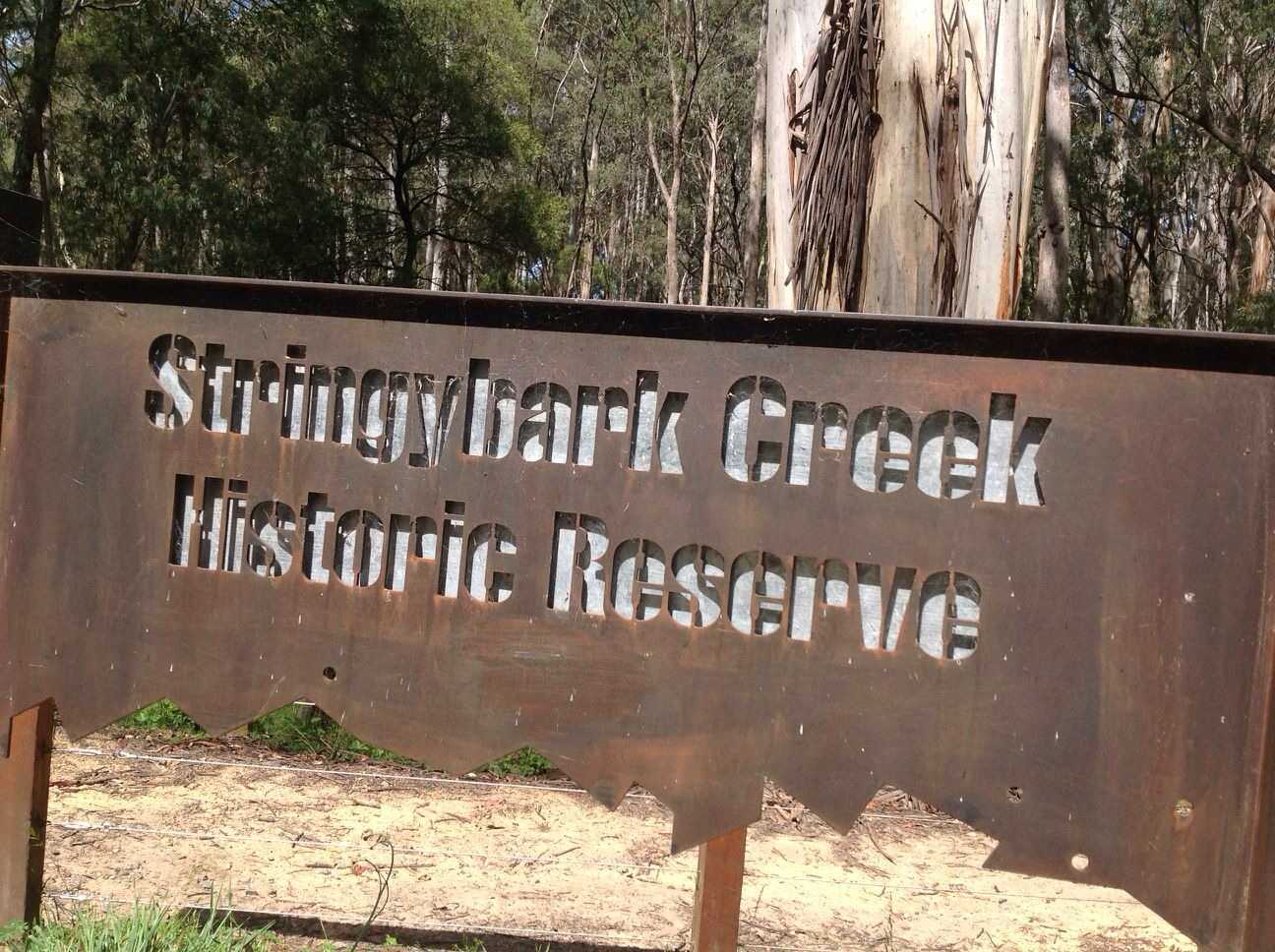
December 13, 2013
Hema - Stringy Bark Creek & Powers Lookout
94.7 kmHEMA HIGH COUNTRY ATLAS & GUIDE - TRACK #3
This track runs from Mansfield to Whitfield via Powers Lookout and requires low range and high clearance on Top Crossing Track.
This is Track #3 in Hema's High Country Atlas & Guide, which features the Top 25 4WD Trips in Victoria's alpine region.
Buy the book online here: http://bit.ly/hemahighcountry